Friday, September 30, 2011

TrekEarth

For those of you interested in photography and/or travel, I found a cool website called TrekEarth. Their goal is basically to be a place where you can learn about the world through pictures. Each member is allowed to upload one photo a day. I like this idea, because it makes you choose very carefully which photos you upload. Each photo has to have an informative or at least meaningful description...either about the place at which it was taken, or something technical; like what filter, lens, blah blah blah, was used. I like this idea too. You can also post the GPS coordinates of where the photo was taken, so someone who liked your picture could actually go to the exact spot you were, and see it in real life. I stumbled upon this website because I was googling pictures of  the Fairy Pools in the Isle of Skye, Scotland. I'd love to go there someday! 
Anyway, I am now a member, and I'm in the process of getting some New Zealand pictures up. So far, this is the only one I've got. I just realized I didn't post many NZ pics on here, so maybe I'll put them up here as I go, too. I like looking back at these pictures!
Storm at Shipwreck Bay, Ahipara, New Zealand

Thursday, September 22, 2011

Hiking Mt. Miguel

This weekend we tried hike Mt. Miguel. This is the mountain with all the antennas on it that we can see from our house. It is 2,559 ft tall. The smaller peak next to it is Mt. Mother Miguel, and it is 1,512 ft tall...and that is the one we made it to :-) It's a hard hike for those of us who aren't used to hiking almost straight up the whole way. We are going to work up to it though, our goal is to eventually reach the top where all the antennas are!
This is Mt. Miguel from our house.
 The beginning of the hike is pretty easy...(the green is a golf course)
 The mountains from the other side.
 It's always strange to walk under these things...they are constantly crackling.

 It's hard to tell from the picture, but you can see the trail going up the side of the mountain if you look hard enough.
 The doggies taking a break.
 Shasta blends in with her surroundings :-)
 That's Otay Lake in the distance.
 Looking back on our progress...unfortunately the marine layer was sticking around, otherwise you'd be able to see the ocean from here :-(
 This is as high as we made it...that blue you can see is Sweetwater Reservoir, and above it is our hill.
 I used the zoom lens on our hill. Can you see our house? :-)
 An old flag on top of Mt. Mother Miguel. Don't be fooled, I used my zoom lens on this too, we did not make it that far :-)


 Remnants of the 2007 Harris fire...Hopefully not, but someday this could be the view from our house.
 A closer view of Otay Lake.
 Heading back down.
 Because there is hardly any information about this hike on the internet, I am posting the directions down here for anyone who may search for directions to this hike. Take the 125 South and get off at the H St exit. Turn left and it turns into Proctor Valley Road. The trail head is right off of Proctor Valley Road, between Duncan Ranch Road and Coastal Hills Drive. We parked on Coastal Hills (it's a neighborhood) and walked to the trail entrance. There are no signs at all to tell you that this is a trail...we almost thought we might be trespassing.  In case those directions aren't good enough, here is a picture of what the beginning of the trail looks like from Proctor Valley Road:
Enjoy!

Sunday, September 18, 2011

Oregon, Parte Dos

It took less than 2 hours to get from Crater Lake to Sunriver, and we were greeted at the rental house by these guys.
 Uncle Garrett and his niece :-)
 Little cutie pie!
 On a walk to the Deschutes River.
 Keira and Aunt Mandy
 The Deschutes.

Clint fishing on the coldest morning of the trip.
 Thursday morning it was time to say goodbye to mom, dad, Mandy, and lil' Embers. They headed North to Portland, and we headed South and East to the Christmas Valley area with these folks. This is the tiny town of Silver Lake. Not much to see, but I thought this old motel sign was cool.
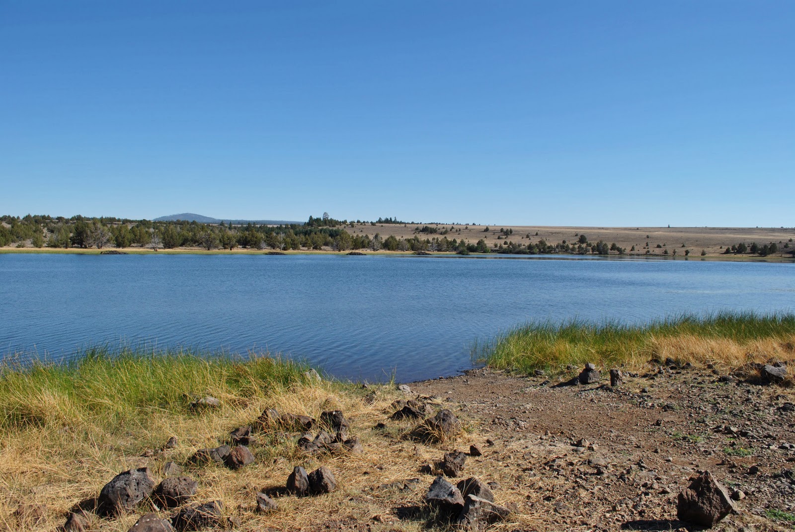
 Our campsite for the next two days...Duncan Reservoir. Not the campsite we had originally been looking for, but turned out to be cool anyway!
 My sister from another mister :-)
 Bri and her fishing rod she made...it looked pretty good for being made out of sticks and grass!
 These guys were all over the place, and in all different colors! I'd never seen red ones before.
 Clint, the four-armed fisherman.
 Gotta love sunsets in the desert!
 Friday we set out to explore Crack-In-The-Ground and Derrick Cave. Crack-In-The-Ground has one of the most un-creative names I've ever heard, and is one of the coolest things I've seen in a while. It was almost other-worldly, like we were delving into the depths of the earth or something. The Lord Of The Rings was referenced many times during the hike through the crack :-) Very, very cool.


 Eating lunch while trying to figure out where Derrick Cave was.
 After quite a bit of driving, we finally found Derrick Cave. And look what else was there, a bomb shelter! I was sorta hoping to find some old hoarded supplies or maybe even some bones...but alas, it was empty. It was still a little creepy.
 The beginning of Derrick Cave.
 Playing with rays.
 Garrett and Keira coming into the dark part of the cave with a green light. It's blurry, but I thought it looked cool and Keira looks kinda ghostly :-)
 The ceiling of the cave. Such pretty colors!
 Saturday morning, after a delicious breakfast of  'rare' toast with some peanut butter and homemade jelly, we said goodbye to the Sanitarium dwellers and headed home. At the end of the dirt road leading out of the campsite, we had a choice to make...turn left or right on Hwy 31? Left would lead us to the 97 and eventually to the 5, also known as the most boring freeway through California. So, I suggested we go Right. Right would take us to the 395, a route neither of us had taken before. We had to stop in Tehachapi on our way home to pick up our dogs, so it made sense to take a scenic drive that would lead us pretty much straight to where we needed to go. If you have the time I highly recommend taking this route instead of I-5. The scenery is just beautiful! These next two were taken with the window rolled down. I'm sorry now that I didn't take more this way.
 Back in Tehachapi. Oh Shasta, she is so cute! We were happy to see our doggies again.
 We saw some really cool stuff this trip, but my favorite part was getting to be with my family for longer than just a weekend...especially with 3 of my wonderful nieces :-)